
Get your maps and apps
Download our beautiful LeTerrain hiking map, including geodata and the accompanying AvenzaMaps app - open the map within the app for your wilderness hiking experience! Don’t forget to have a fully charged phone :-)


Our orientation map will help you to locate the cabins and the common area at our magical wooden yurt. This map is not geotagged.

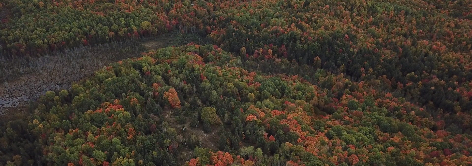
Hiking
The natural land marks and borders make it easier to orient yourself on the range but we recommend GPS-based apps and compass if you plan to venture deep into the wilderness on or off the trails. There are many beautiful places to see. Some hikes can take more than a day all within the land. We can offer suggestions on hikes and itineraries, even guide through trails, or just leave you to your own adventures. There are a few peaks that have quite steep descents. If you are with young children they should be with you and monitored closely at all times. This is a deep wilderness experience one must remember despite the very comfortable and civilized yurt and cabin setting.
Biking
Many kilometers are perfect for mountain biking and range from beginner to expert.
Winter
During the winter, bring your own snowshoes or cross-country skis. When temperatures have been consistently cold, the creeks/wetlands freeze enough for ice skating.
Common area
The Magical Wooden Yurt, with its picnic table and outhouse, is a common area accessible to all members with a day pass. Please respect this common area and always leave it as you find it, as you would anywhere else in the park. The Yurt is also available as a meeting point or emergency shelter.